How this preset was checkedUpdated August 12, 2026. The 44-option set was counted by UN M49 European subregion, with dependent territories excluded and the resulting names matched to the loaded slices. Source: UN Statistics M49, checked August 11, 2026.
What is actually on the Europe Country Wheel
The wheel contains 44 sovereign states placed in the European region by the United Nations Statistics Division's M49 geography, with dependent territories removed. It is a stated statistical scope, not a claim that every cultural or political definition of Europe is identical. The list was checked against the UN M49 reference; familiar short English names are used to keep narrow slices readable.
How the 44 countries are distributed
| M49 subregion | Count | Examples on this wheel |
|---|
| Eastern Europe | 10 | Poland, Romania, Ukraine |
| Northern Europe | 10 | Denmark, Ireland, Sweden |
| Southern Europe | 15 | Albania, Greece, Spain |
| Western Europe | 9 | Austria, France, Netherlands |
This breakdown gives teachers a practical way to make four smaller wheels when 44 labels are too dense for the room. The separate Country Spin The Wheel is a compact multi-region sampler; this page is the better starting point when the activity is specifically European.
Turn one country into a geography challenge
Do more than ask for a capital. After each result, give the player 60 seconds to locate the country on a blank map, name one neighboring state or body of water, identify its M49 subregion, and check the spelling of its capital using an approved reference. A language or flag round can follow, but remember that countries may have several official or widely spoken languages and that a flag is not a summary of a population.
A five-round classroom ladder
- Point to the result on a map.
- Name its subregion.
- Research the capital and one physical feature.
- Compare it with the previous result.
- Cite the source used for the answer.
Turn Remove winner on so the class moves through different countries. Results then becomes the round order, which can be downloaded for homework or project allocation.
Assign country projects without duplicates
Remove countries that do not fit the syllabus, announce the remaining count, and spin once per student or group. With 44 slices, the result card is the readable authority; do not ask students at the back of the room to infer a tiny label from the pointer. If absence, accessibility, or source availability could make an assignment impractical, agree on a swap rule before the first allocation.
Use a travel result as a research brief
A random country can break the “where could we go?” loop, but the wheel cannot see passport rules, border changes, safety advice, seasons, transport, disability access, or budget. Research the selected country on official government and transport sites before booking. A useful follow-up sheet asks for travel dates, entry requirements, estimated transport, two feasible places, and the date each fact was checked.
Why some expected names may be absent
M49 assigns every country or area to one statistical region. Under that system, Cyprus, Türkiye, Armenia, Azerbaijan, and Georgia are grouped in Western Asia; Kosovo does not have its own sovereign-state M49 entry. Another classroom or organization may use a different rule. Edit Options to match that rule and describe the change rather than presenting one disputed boundary as universally settled.
What this template adds to a plain list
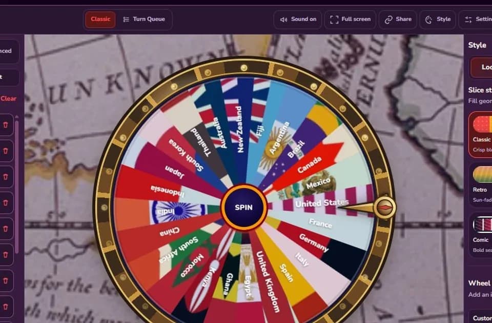
Country flags fill the slices, the compass chrome marks the selected direction, Remove winner prevents duplicate assignments, and Results preserves the draw order. More importantly, the source scope is visible beside the wheel. That combination makes the selection explainable: users can see what was eligible, which regional definition was used, and what happened in each round.
Have a better template idea?Tell me what should go on the wheel, which mode it needs, and how you would use it.
Leave a suggestion